About Us

image
About Us

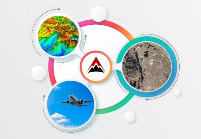
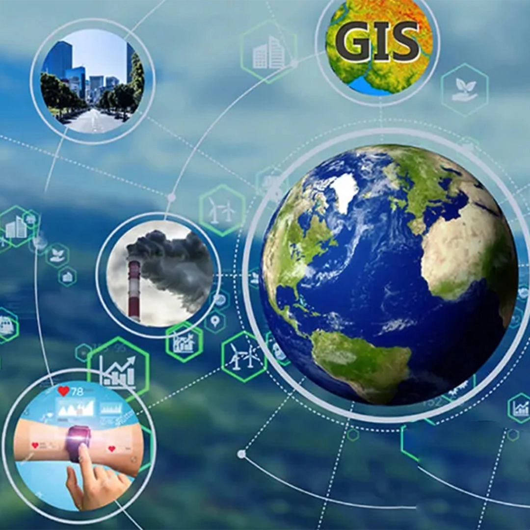
Leading provider of satellite imagery and geospatial services

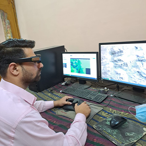
SATPALDA is a leading provider of geospatial services. With over 20 years of experience in the industry, we specialize in using digital maps and location analytics to bring your data to life.

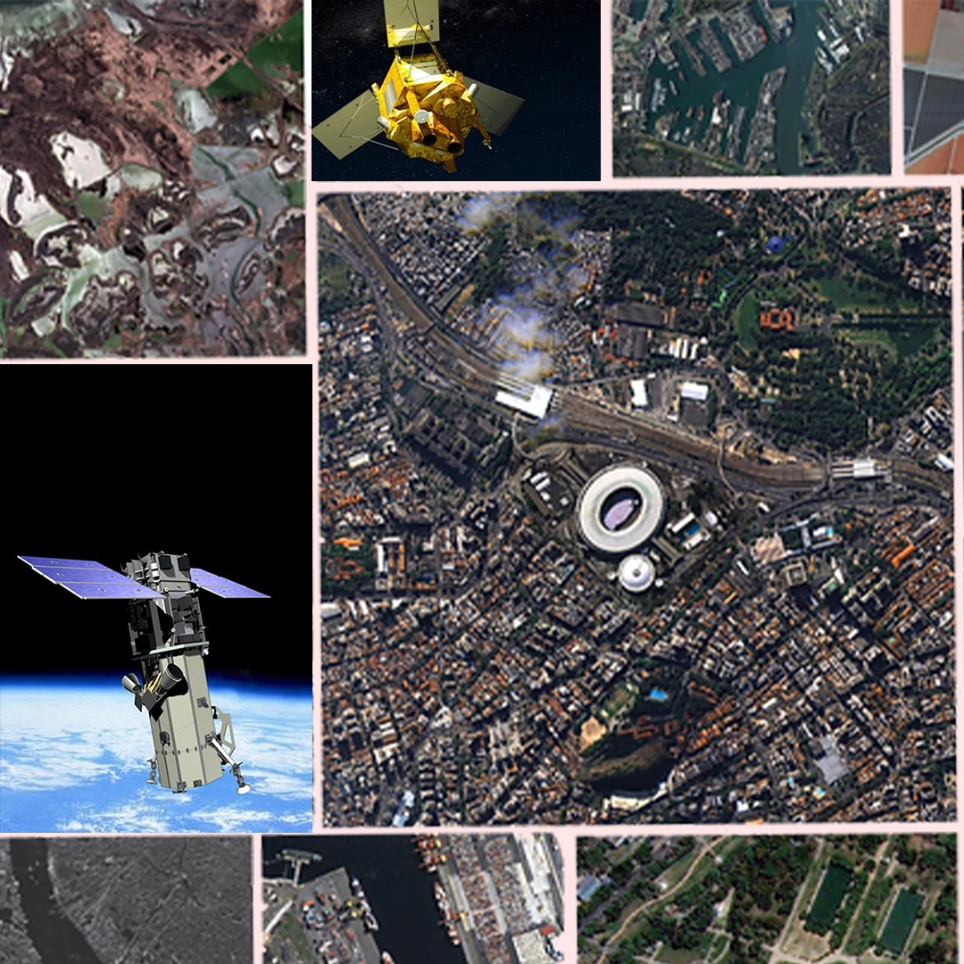
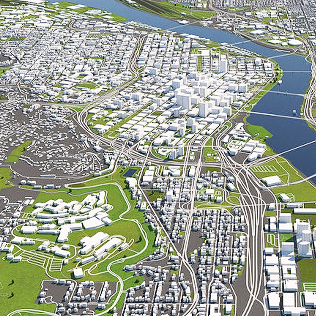
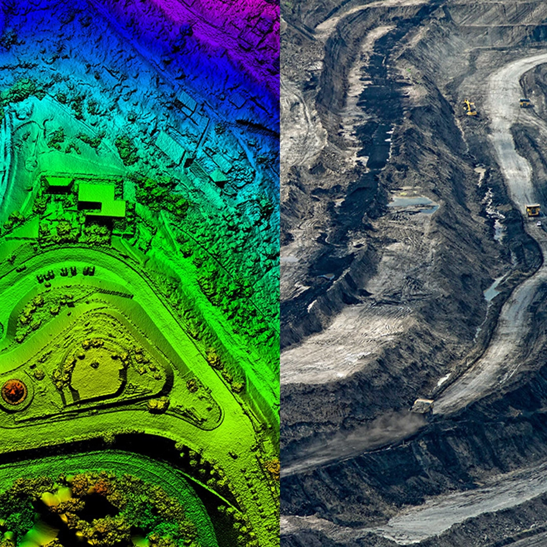
Established in 2002, we have a proven track record of successfully completing a wide range of photogrammetric and remote sensing projects for a variety of sectors. We are committed to providing end-to-end innovative geospatial solutions that enable businesses to achieve a competitive advantage.

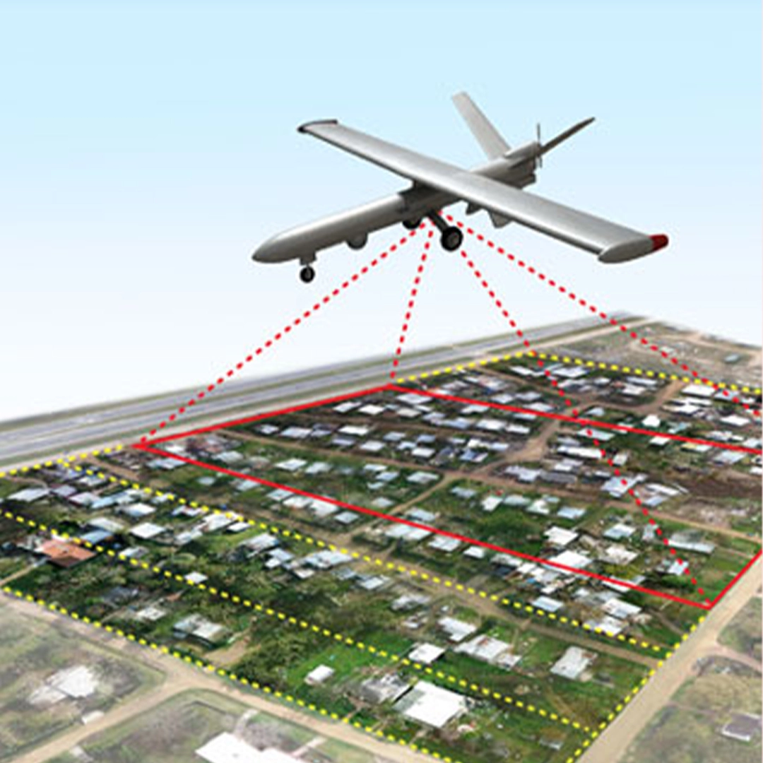
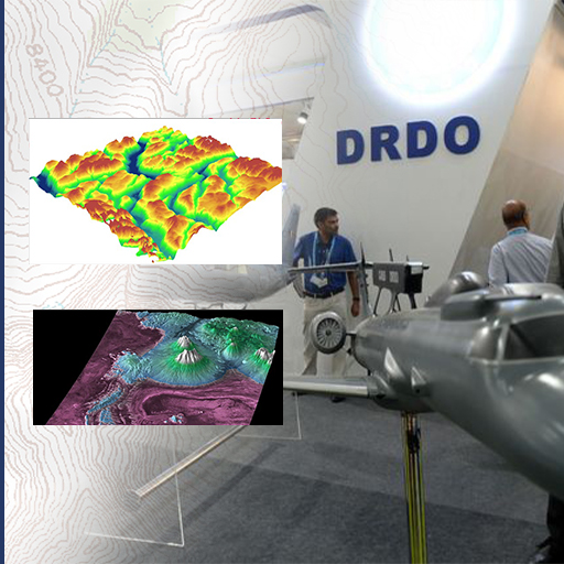
Our team at SATPALDA is made up of highly skilled and enthusiastic professionals with multidisciplinary expertise in the geospatial and remote sensing domains, the new-age technology industries, and digital transformation projects. We are constantly updating our knowledge and skills to stay at the forefront of the latest technologies and trends in the industry.

We understand that every project is unique, and that's why we offer a variety of services to meet the specific needs of our clients. Our services include High-Resolution Satellite Imagery, Terrain Modelling, Web GIS, 3D City Modelling, and much more.

No matter what your geospatial needs are, we are here to help. Contact us to learn more about our services and how we can assist you in achieving your goals. We look forward to working with you!

image

20 Years

In the market

image

300+

Projects Completed

image

200+

Professionals

Our History

History Begins in 2002

  1. 2002

    Establishment of SATPALDA as a proprietorship company

    Spurned by advancements in Earth Observation and Remote Sensing with the launch of the Ikonos satellite by Space Imaging and recognizing the need for such solutions in the Indian market Commodore S. P. Sharma VSM (Retd.) established SATPALDA as a proprietorship company on 5th June 2002.

    Establishment of SATPALDA as a proprietorship company
  2. 2003

    Move to first owned office in New Delhi

    SATPALDA moves to its first owned office in New Delhi. The company now has a full-time staff of 5 people.

    Move to first owned office in New Delhi
  3. 2004

    Collaboration with Global Imagery Solutions (SAIC)

    SATPALDA enters into an agreement with Global Imagery Solutions (SAIC) to collaborate on satellite imagery-based solutions.

    Collaboration with Global Imagery Solutions (SAIC)
  4. 2007

    Reseller agreement with Infoterra and visit to TerraSar-X satellite development

    SATPALDA representatives visit the Infoterra office in Immenstaad, Germany to view the development and testing of the TerraSar-X satellite which will be the highest resolution X-band satellite available commercially. The company also executed a reseller agreement with Infoterra to cater to the Indian market.

    Reseller agreement with Infoterra and visit to TerraSar-X satellite development
  5. 2009

    Move to a larger office in Vasundhara, Ghaziabad

    The company moves to a larger office in Vasundhara, Ghaziabad to cater to accommodate a growing team and to meet larger customer requirements.

    Move to a larger office in Vasundhara, Ghaziabad
  6. 2010

    Award of mapping project by Sharjah Town Planning and Survey Directorate

    Sharjah Town Planning and Survey Directorate awards a mapping project to SATPALDA

    Award of mapping project by Sharjah Town Planning and Survey Directorate
  7. 2011

    Appointment as an official reseller for GeoEye products

    SATPALDA is appointed an official reseller for GeoEye products in India and SAARC countries. GeoEye operates the Ikonos and GeoEye-1 satellite which is the highest-resolution optical imagery provider in the earth observation market.

    Appointment as an official reseller for GeoEye products
  8. 2012

    Execution of Eastern Nile Watershed Management Project and appointment as Alos imagery reseller

    The company successfully wins and executed the Eastern Nile Watershed Management Project in Sudan under World Bank Funding. SATPALDA is also appointed as a reseller for Alos imagery products. Pasco Corporation is the official licensee for global sales rights and appoints Satpalda as their reseller.

    Execution of Eastern Nile Watershed Management Project and appointment as Alos imagery reseller
  9. 2013

    Award of NLUP, Nepal project, and Restec Japan agreement for Alos imagery sales

    SATPALDA is awarded the NLUP, Nepal project for the supply of GeoEye-1 imagery. The successful delivery goes on the ensure that Satpalda successfully wins the same project every year for a number of years in succession. Restec Japan becomes the licensee for global sales of Alos imagery products and enters into an agreement with SATPALDA for the sales of its products. The Alos satellite was operational from 2006-2011 and had a stereo archive of imagery for the entire globe.

    Award of NLUP, Nepal project, and Restec Japan agreement for Alos imagery sales
  10. 2016

    Business split based on verticals and geographies

    Due to an increase in customer requirements and to streamline operations, the company splits the business based on verticals and geographies to achieve better business operability..

    Business split based on verticals and geographies
  11. 2018

    Founder Commodore S. P. Sharma VSM (Retd.) steps down as Managing Director

    Our founder Commodore S. P. Sharma VSM (Retd.) steps down as Managing Director after a tenure of more than 16 years at SATPALDA. He has a long and illustrious career of more than 46 years out of which 30 years he served in the Indian Navy. We thank him for his leadership, vision, and guidance to shape the company and its growth.

    Founder Commodore S. P. Sharma VSM (Retd.) steps down as Managing Director
  12. 2019

    Award of Geospatial Terrain Analysis and Topographic Mapping projects by DRDO

    DRDO awards Geospatial Terrain analysis project for an area of 26,00,000 sq km. DRDO awards another project for topographic mapping to SATPALDA for an area of 2,13,000 sq km.

    Award of Geospatial Terrain Analysis and Topographic Mapping projects by DRDO
  13. 2020

    Continuity of business operations during the COVID-19 pandemic

    COVID-19 hits the entire world harshly and brings it to a standstill. In spite of a complete lockdown in India and due to the rapid deployment of work from home for resources, SATPALDA operations are not affected thereby enabling the continuity of business operations.

    Continuity of business operations during the COVID-19 pandemic
  14. 2021

    Delivery of aviation solutions order despite lockdown conditions

    SATPALDA bags an aviation solutions order of over half a million dollars which is successfully delivered in record time in spite of lockdown conditions imposed in 2021 again.

    Delivery of aviation solutions order despite lockdown conditions
  15. 2022

    Groundbreaking ceremony for a new state-of-the-art office building

    The company starts the groundbreaking ceremony and construction of its new office building. It is projected to be a state-of-the-art facility and one of its kind in the Delhi NCR region for Geospatial solutions.

    Groundbreaking ceremony for a new state-of-the-art office building
  16. June 5, 2022

    20th anniversary of SATPALDA as a Geospatial solutions provider.

    June 5, 2022, completes 20 years for SATPALDA as a Geospatial solutions provider to the user community. We thank our partners and customers for reposing their confidence and support in us and look forward to an exciting future ahead.

    20th anniversary of SATPALDA as a Geospatial solutions provider.
People Love Us

Why Choose Us?

There are several reasons why a client may choose SATPALDA for their geospatial services:

1

Experience and Expertise

SATPALDA has been providing geospatial services since 2002 and has a team of experts with a wealth of experience in the industry.

2

Wide Range of Services

SATPALDA offers a wide range of geospatial services, including mapping, digital terrain modeling, aerial triangulation, satellite imagery, web GIS, 3D city modeling, and more.

3

Innovation and Technology:

SATPALDA is committed to staying at the forefront of the industry, continuously adopting new technologies and investing in R&D to provide cutting-edge services.

4

Focus on Quality

SATPALDA is committed to providing high-quality data and analysis to support the management of aerodromes and airports and other sectors.

5

International Reach

SATPALDA provides services to clients around the world, it has the ability to provide its services to international clients.

6

Sector-Specific Services

SATPALDA provides services to a wide range of sectors such as Aerodrome and Airport, Agriculture, Forestry, Mining, Urban Planning and more.

SATPALDA is committed to providing responsive and reliable service to its clients, ensuring that their needs are met in a timely and efficient manner.

image
image
image
image
image
image