Satellite Intelligence
for Every Critical Operation
Access high-resolution Earth observation data, SAR imagery, GIS mapping, and advanced geospatial analytics for Infrastructure, Agriculture, Urban planning, Defense, and Environmental monitoring.
Our Trusted Partners


24 Years
of Satellite Imagery Excellence
SATPALDA helps organizations see beyond maps, react faster, and make high-impact decisions using satellite imagery and geospatial intelligence. From critical infrastructure and environmental monitoring to defence, agriculture, and urban development, we deliver the intelligence required to monitor change, reduce risk, and stay ahead of rapidly evolving challenges.
For the last 24 years, SATPALDA has been transforming complex Earth observation data into operational insight. Established in 2002, the company has executed large-scale geospatial, remote sensing, and photogrammetry projects for governments, enterprises, and industry leaders who demand accuracy, speed, and reliability. We don’t just deliver data — we deliver intelligence that drives action.
Years of Experience
Countries Served
Projects Completed
Our Partner's Satellites

Vantor Satellites
VANTOR delivers ultra high-resolution satellite imagery for precision mapping, smart cities, and infrastructure monitoring with unmatched clarity.

Synspective SAR Satellites
SYNSPECTIVE offers cutting-edge SAR satellite imagery for all-weather Earth observation, disaster response, and infrastructure analytics.

Axelspace GRUS Satellites
AXCELSPACE provides satellite imagery for agriculture, enabling smart farming, crop health monitoring, and yield optimization across seasons.

Wyvern Hyperspectral Satellite
WYVERN delivers hyperspectral satellite imagery for environmental monitoring, mineral detection, and advanced precision farming applications.
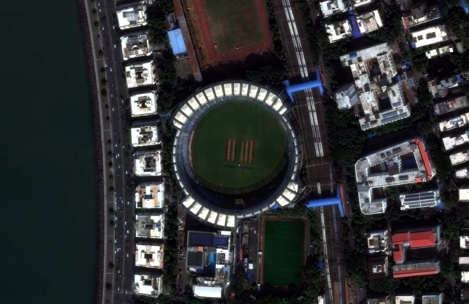
Wankhede Stadium, Mumbai | 50 cm WorldView Satellite Imagery
Discover Wankhede Stadium, Mumbai, through 50 cm high-resolution satellite imagery captured by the WorldView satellite. This detailed Earth observation image highlights one of India’s most iconic cricket stadiums, along with the surrounding urban landscape and coastal infrastructure.
The exceptional clarity of WorldView satellite Imagery supports urban mapping, GIS analysis, infrastructure monitoring, and geospatial intelligence. It demonstrates how high-resolution satellite data enables accurate planning, monitoring, and decision-making for modern cities and infrastructure projects.
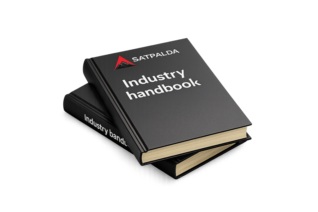
Free Geospatial Industry Handbook
Built by field engineers and GIS experts at Satpalda, this free industry handbook simplifies satellite imagery, GIS, and remote sensing for real-world applications. Learn how geospatial data drives smarter decisions across infrastructure, agriculture, disaster management, and planning—straight from practitioners, not theory.
Why SATPALDA
Delivering satellite imagery, geospatial intelligence, and Earth observation solutions trusted by governments, enterprises, and industry leaders for over 23 years.
Proven Expertise
Backed by decades of remote sensing, photogrammetry, and geospatial experience across infrastructure, agriculture, environment, and defence sectors.
Innovation
Combining advanced Earth observation technologies with modern geospatial workflows to solve complex operational challenges.
Accuracy
Delivering precise mapping and spatial analysis solutions that reduce uncertainty and improve planning confidence.
Industries We Serve