Menu
Home
Company
Products
Services
Sectors
Resources
Contact Us
Contact Us
Blogs
Home
Blogs
Satpalda
April 22, 2024
Wildfire Satellite Imagery
Satpalda
April 22, 2024
Synthetic Aperture Radar
Satpalda
April 22, 2024
Optical Imagery
Satpalda
April 16, 2024
LiDAR Survey
Satpalda
April 04, 2024
Geo Data Science
Satpalda
April 01, 2024
Spatial Data Science
Satpalda
March 21, 2024
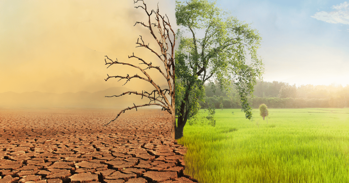
Deforestation Remote Sensing and Monitoring
Satpalda
March 21, 2024
Forest Cover Monitoring
Satpalda
March 21, 2024
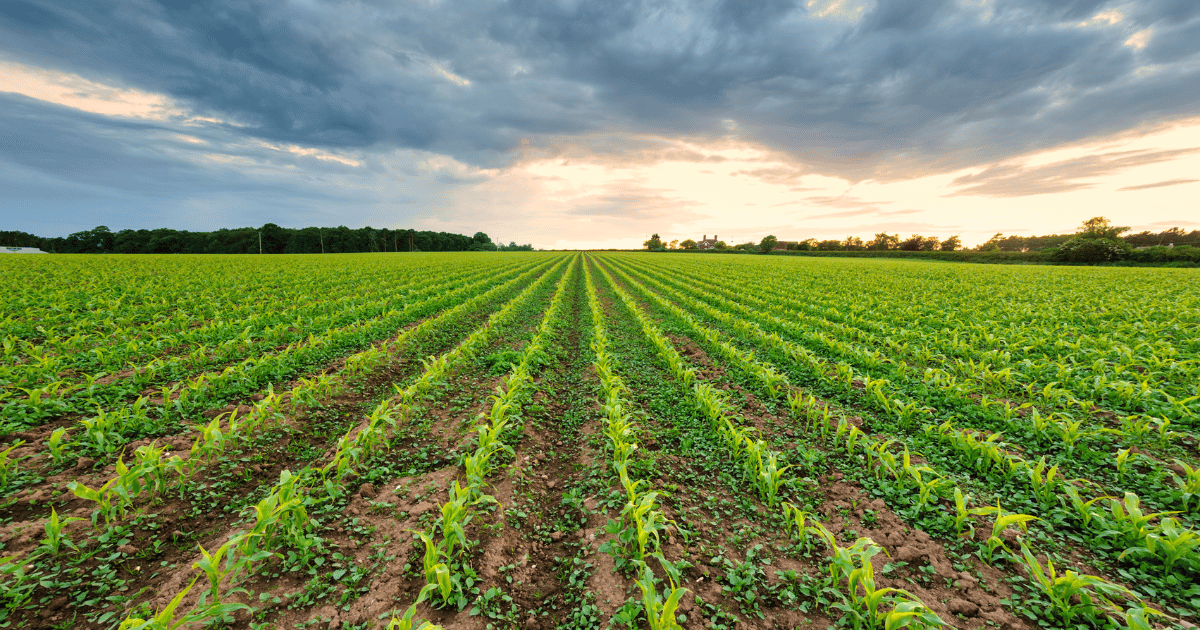
Crop Yield Prediction
Satpalda
March 21, 2024
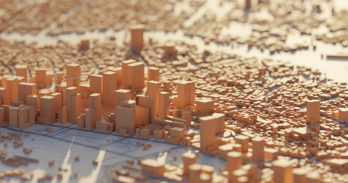
3D Urban Modelling
Satpalda
March 21, 2024
Land Cover Change Detection
Satpalda
March 21, 2024
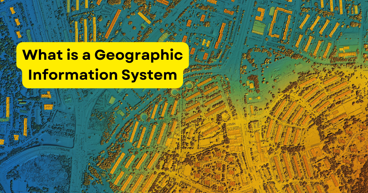
What is a Geographic Information System (GIS)?
Satpalda
March 04, 2024
GIS in Tourism
Satpalda
March 04, 2024
Remote Sensing in Forestry
Satpalda
March 04, 2024
Understanding Topographic Correction
1
2
3
…
14
»


.png)


.png)
.png)


.png)